GNSS navigation solutions can be used on any artillery systems, allowing to determine: current coordinates, true azimuth, angular orientation in space (angle of location of baselines between antennas, directional angle, and angles of the actual direction to the target, if the ballistic calculation option is available), vector speed and parameters will become time scales.
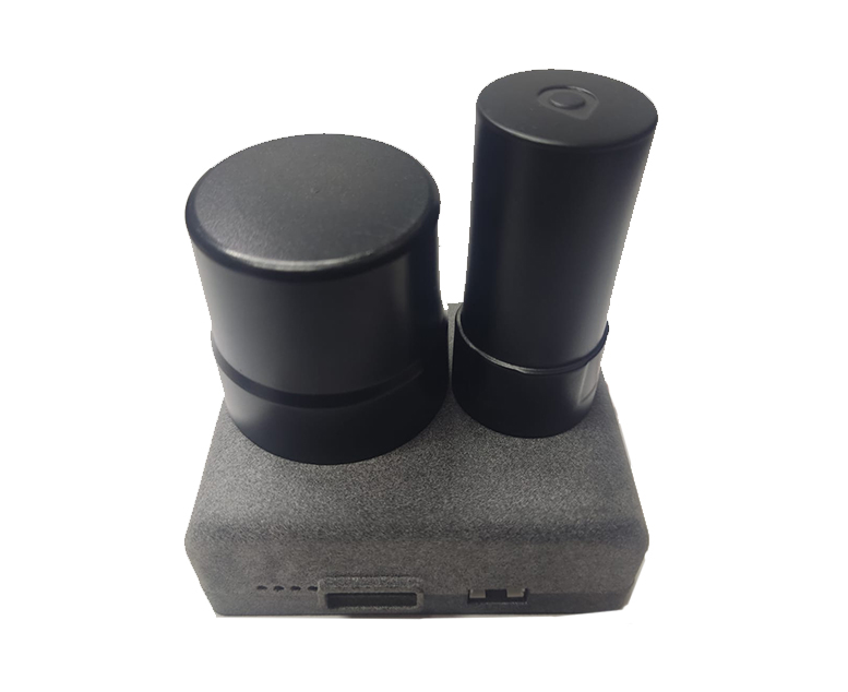
The “DARTS” system is a complex multi-level navigational solution for controlling artillery fire.
Ballistic library for direct calculation of trajectories – BALLS (Ballistic Simulator)
GNSS technologies for solving geodetic problems and orientation on the terrain
Application of modern sensors and principles of embedded programming combined with MIL810 military protection standards
Inclinometer for working with any angle of inclination of the installation (optional)
measurement accuracy (SQV): autonomously 0.8 m
DGPS 0.04 m
Course: Accuracy (RMS): 0.2° per 1 m of baseline length
Operating temperature from –40°C to +85°C
The number of satellite signal reception channels is 240 tracking channels
Reception of satellites by frequencies
GPS L1+L2; QZSS L1+L2; BeiDou B1+B2; GLONASS L1+L2 FDMA1; GALILEO E1+E5b – SBAS L12
GNSS solutions for various tasks. The category represents protected devices for artillery, UAV, aviation, marine positioning. Very often, the use of cheap and unprotected GNSS solutions leads to the loss of robotics and drones. The correct selection of navigation equipment puts the performance of combat tasks at the appropriate level.
You can contact us by filling out the form. Feedback and consultations on products are provided according to the completed form. During martial law, please call the indicated phones via Signal messenger.